Archive for category Mountaineering

Estes Vacation June 16-19, 2005

Estes Vacation June 16-19, 2005

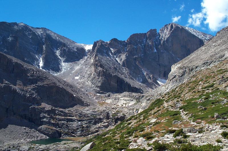
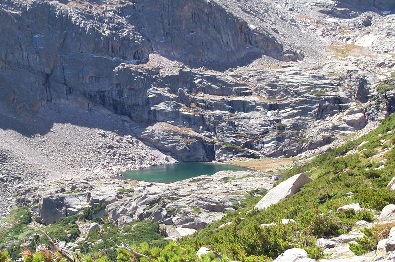
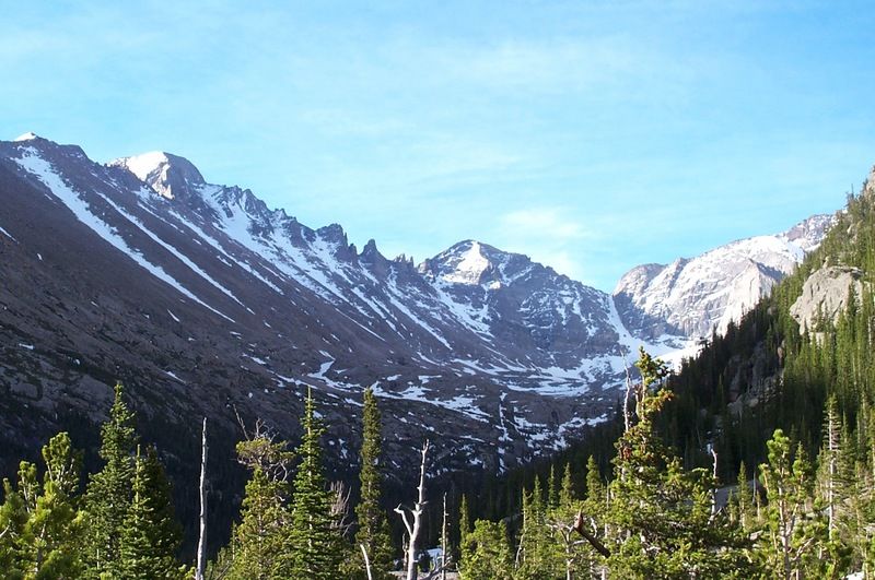
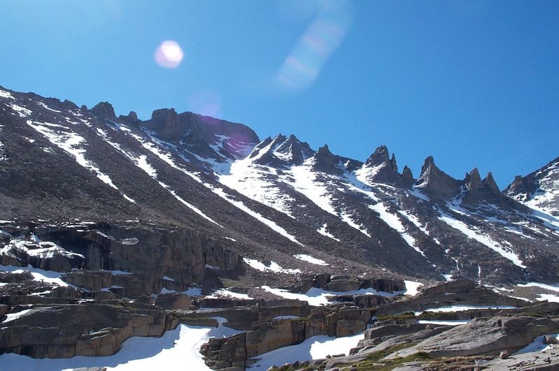
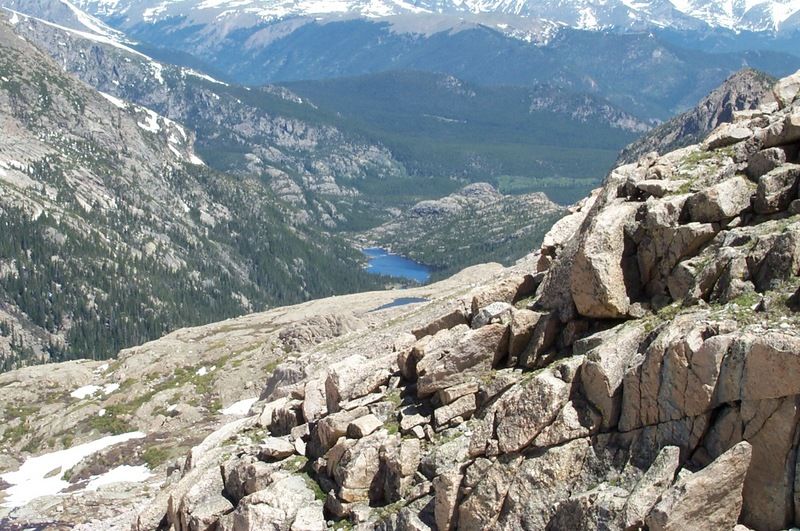
Lori and I left Hutchinson kind of late on Thursday morning, around 8:15. This put us in the park at Milner Pass around 4:30 Colorado time. We were intending to go for Mt. Ida, but the snow was really soft due to the lateness of the day, so we turned back after about an hour and checked in the hotel. By this time, Lori wasn’t feeling well and had a bad case of pink-eye, so we checked in the hotel and went to bed. The next morning, I was up at 6 and asked her if she wanted to go hiking. Her answer was – “Yes – but I am too sick.” So I gathered my gear and headed out to Glacier Gorge Trailhead. I hit the trail at 6:40, and arrived at Mills Lake around 8, and was rewarded with an awesome view of my goal for the day (the Trough on Longs):

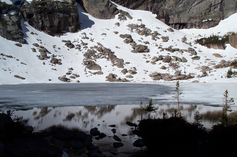
After a quick bite to eat, I hit the trail again. Around the time I got to the campsite, I started running into some serious icy snow. After roughing it for a while, I finally put on my crampons (for the first time) and discovered what I had been missing. By about 9:30 I was at Black Lake:

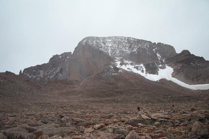
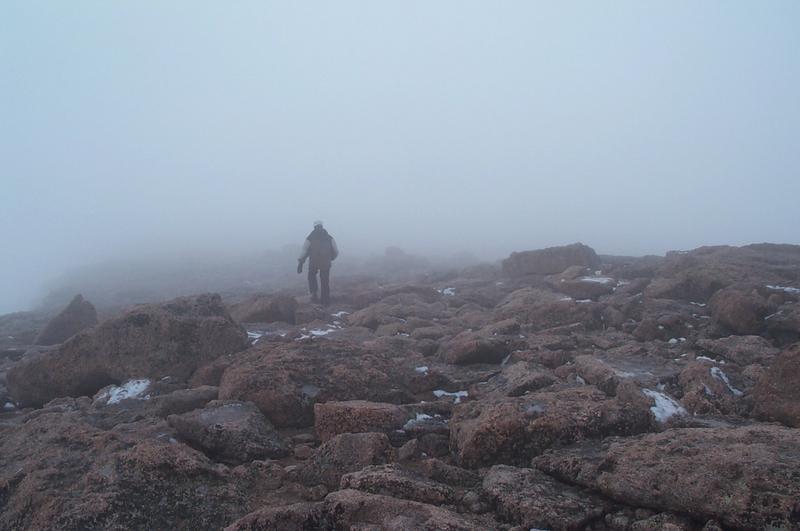
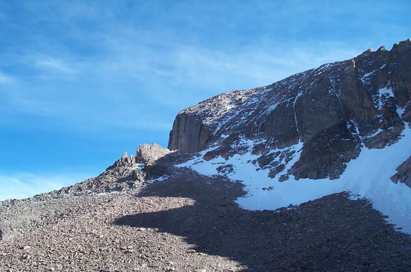
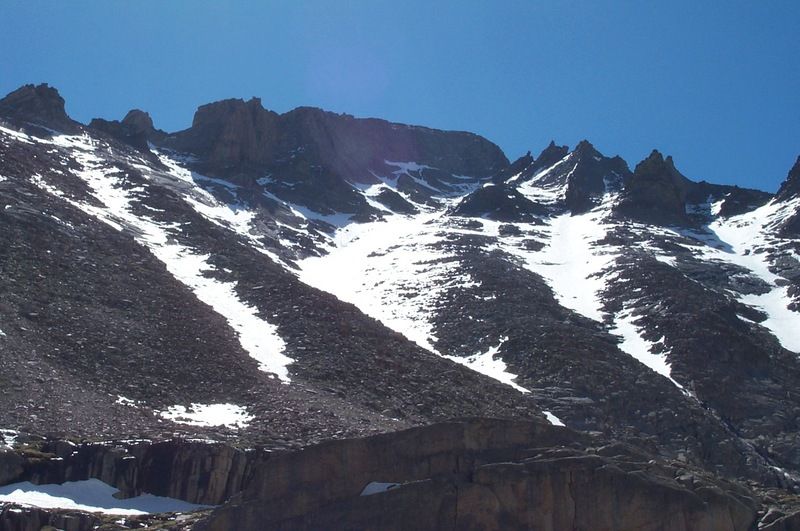
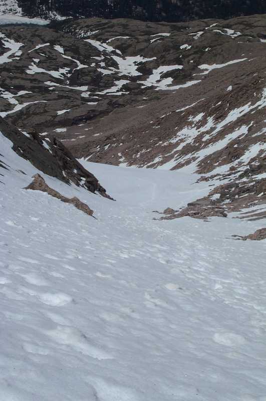
At this point I was tired of carrying my snowshoes and cached them in the trees and started the steep snow climb up to the plateau at the base of the mountains. About 20 minutes later I was rewarded with another awesome view of my destination:

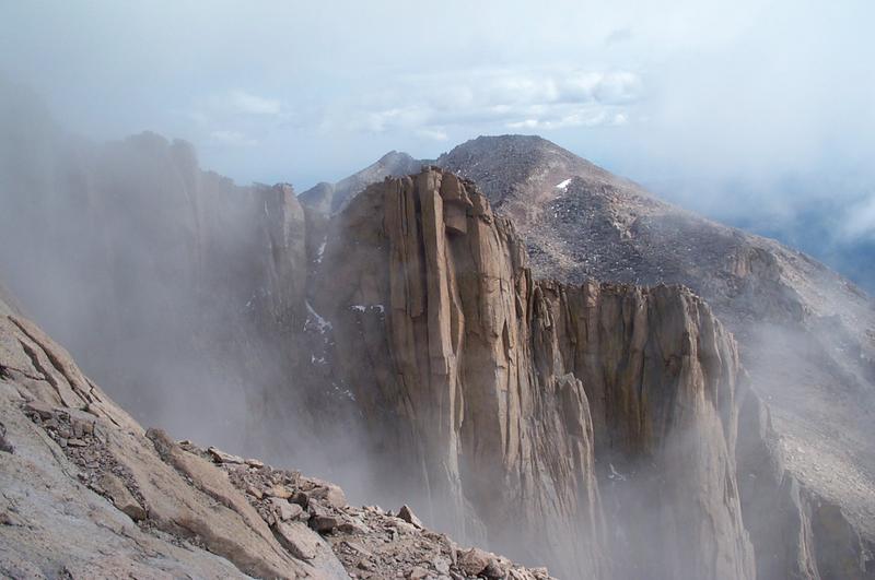
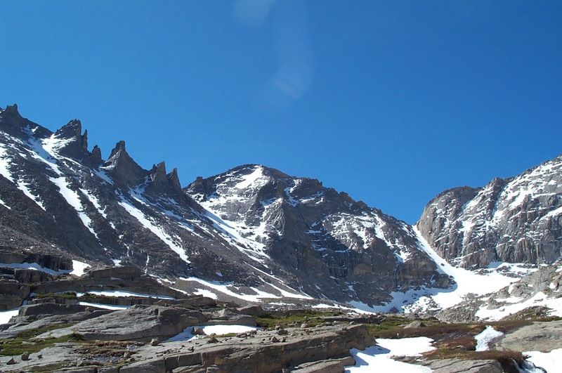
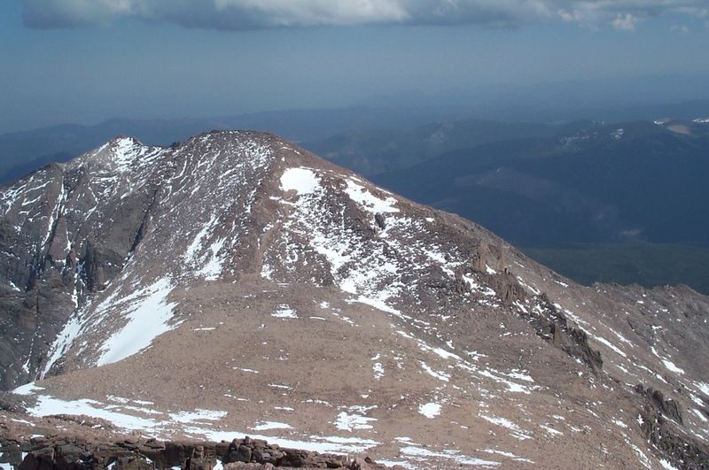
A little more scrambling and I could see the Trough and Pagoda even better:

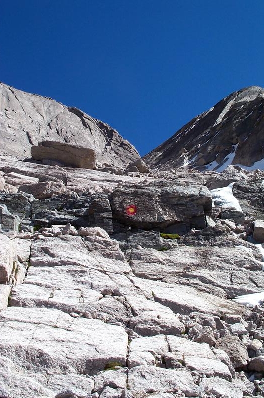
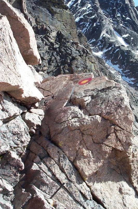
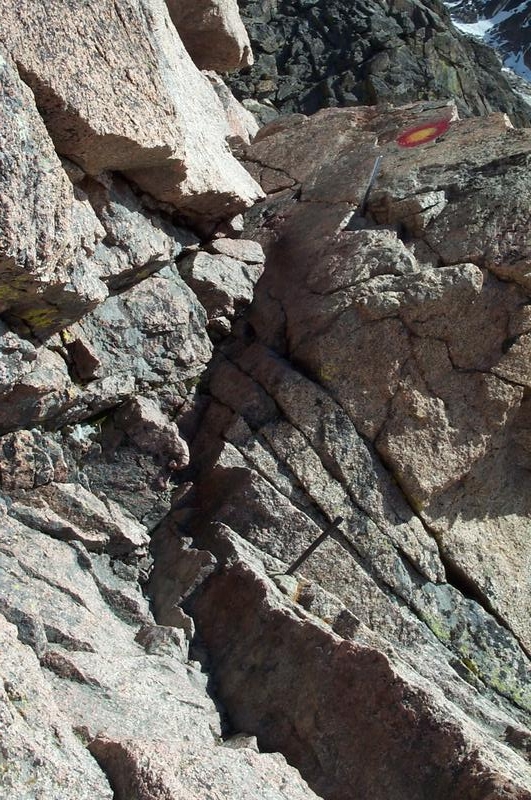
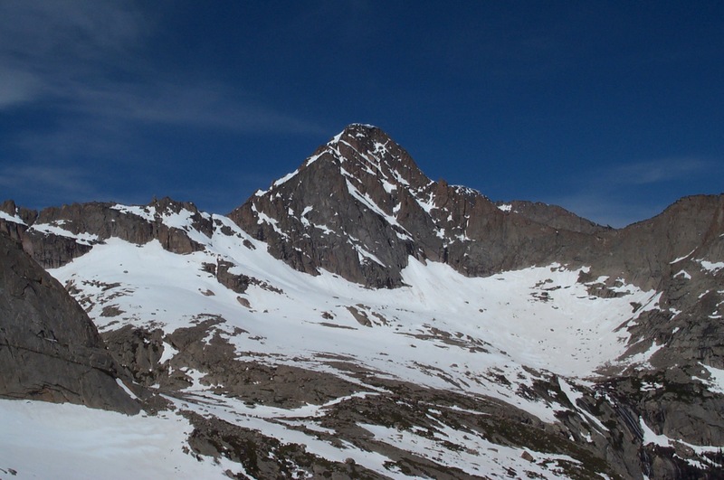
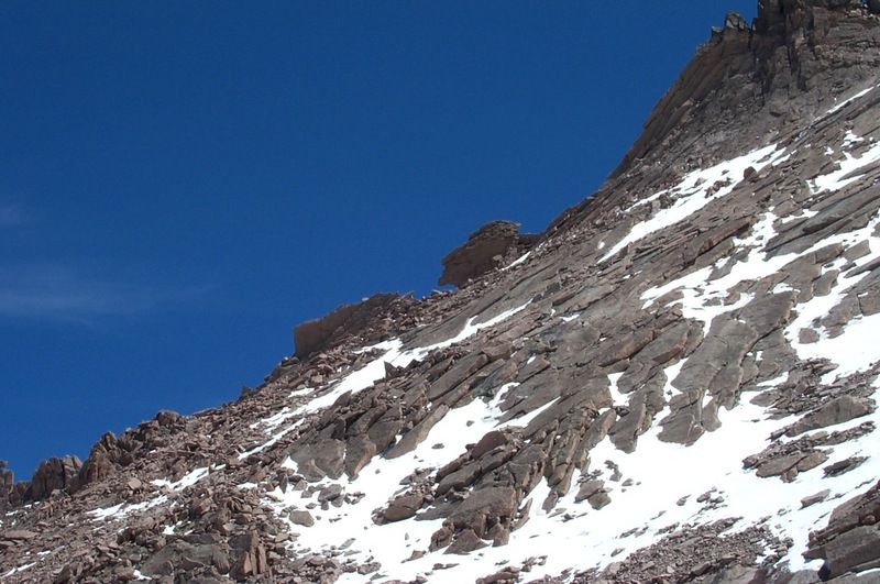
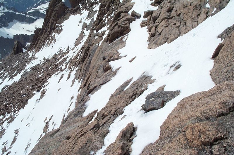
Finally it was time to REALLY climb. The snow was pretty soft at the bottom of the Trough so I headed up the rocky ridge to the right of it, and was able to climb about 2/3 of the way over there. The view from there:

McHenry’s:

Mills/Jewel:

I also made a friend at about the same time:

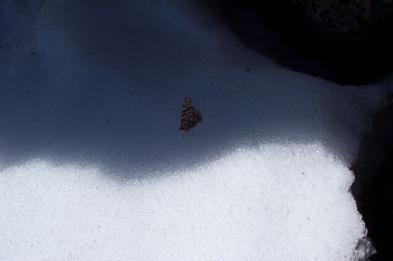
You just never know what you’ll run into at 13000 feet I guess!

Here’s a shot of the Keyhole from the back side:

And a shot back down from where I just came:

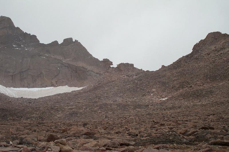
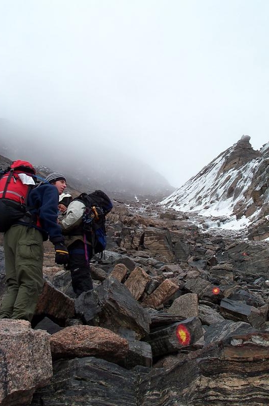
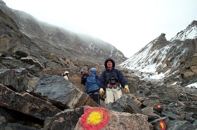
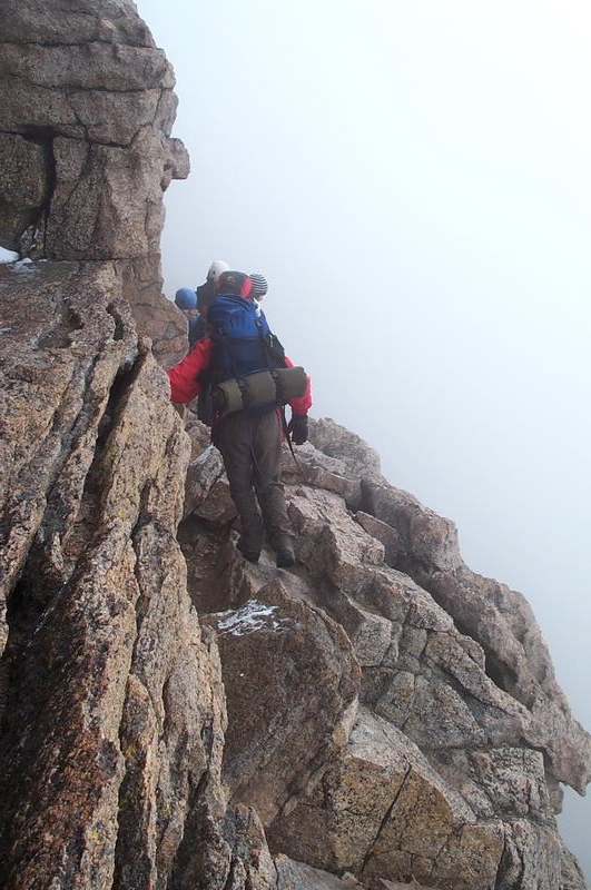
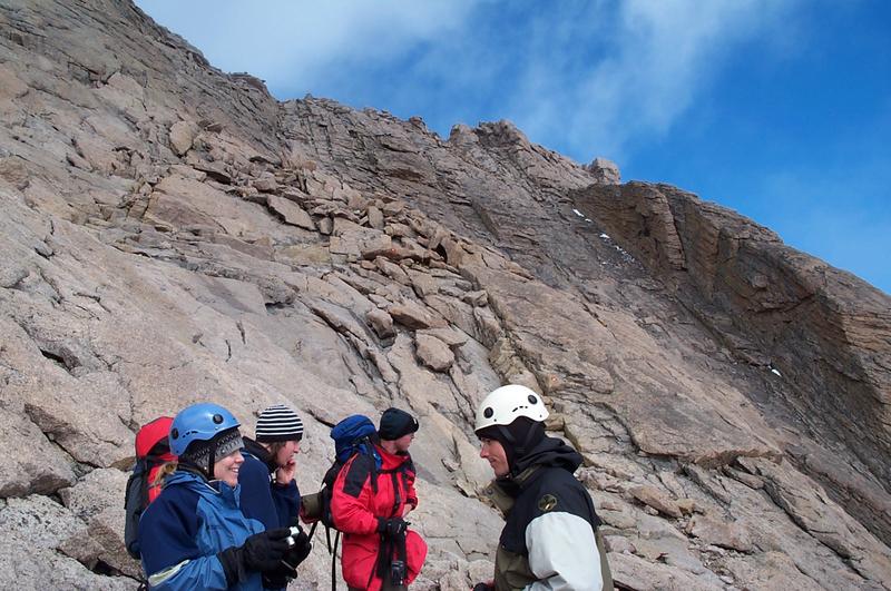
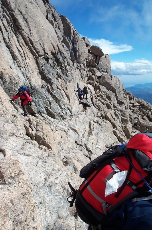
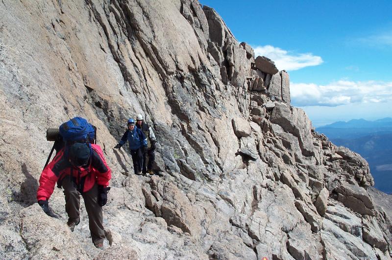
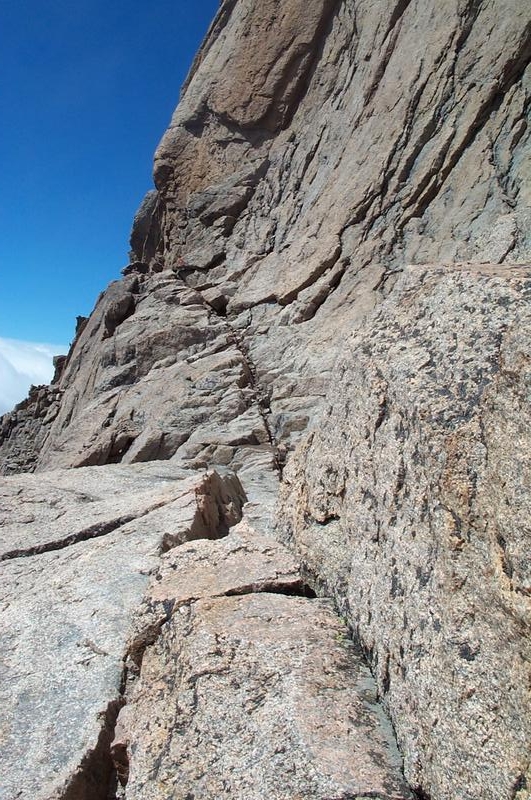
At the top of the Trough, I met a father and son team from Washington state that were in the area for a family reunion. We had a long visit, and found out that they had climbed a good portion of the homestretch but turned back because they said a section of it was “like a waterfall”. I was surprised they turned back since they had crampons and axes with them, so I bid farewell and headed out across the Narrows. I did encounter a couple of sections that were pretty exposed, but the snow was in good shape so I went on through. Here is the view looking back:

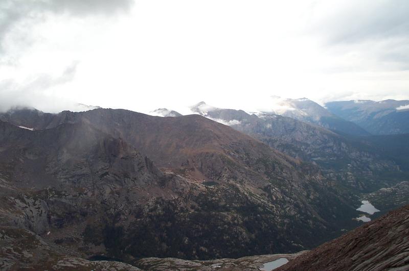
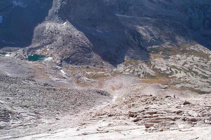
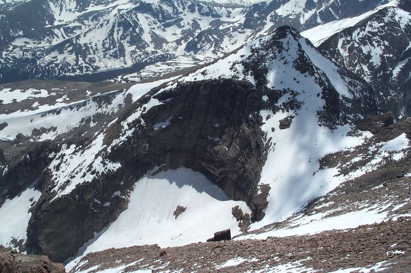
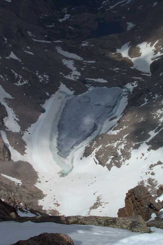
I also got a great shot of the cirque on the east side of Pagoda:

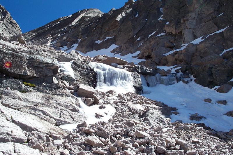
Finally, I arrived at the Homestretch. It was largely covered with snow, and did have a section that had a fair amount of flowing water on it, but the snow was pretty solid. After about 40 minutes of laboring, I was on the top!

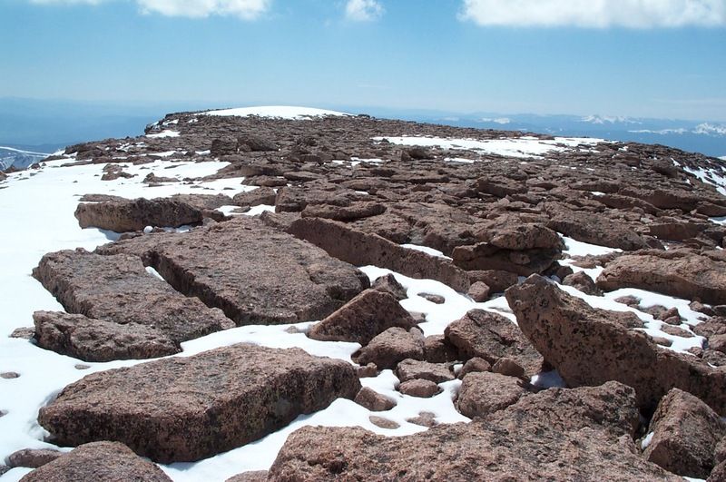
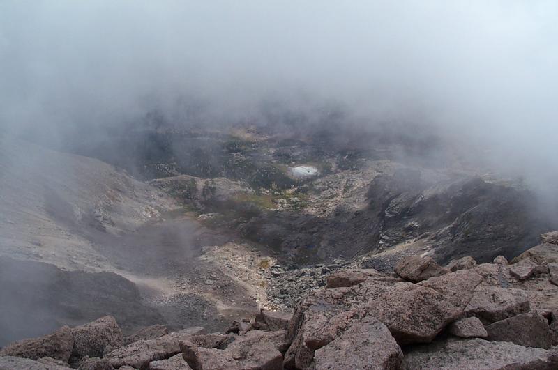
The last time I summited, I was in the clouds and could see basically nothing, so I spent a little time exploring the summit. I saw the Loft on Meeker:

And Chasm Lake:

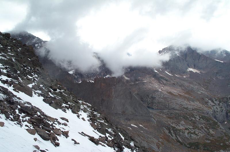
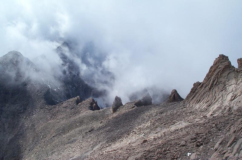
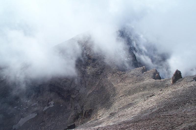
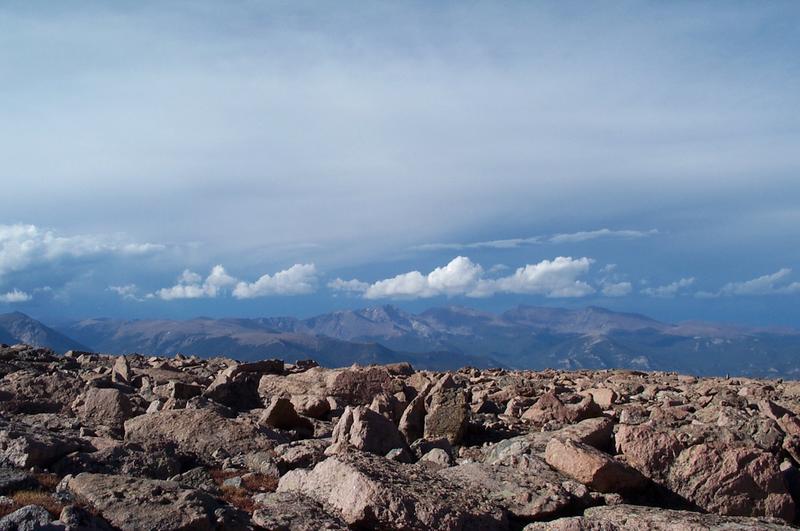
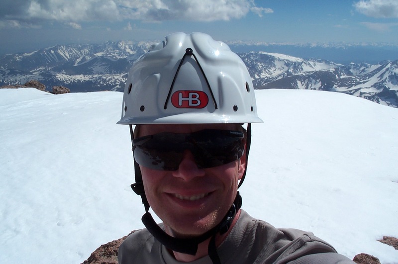
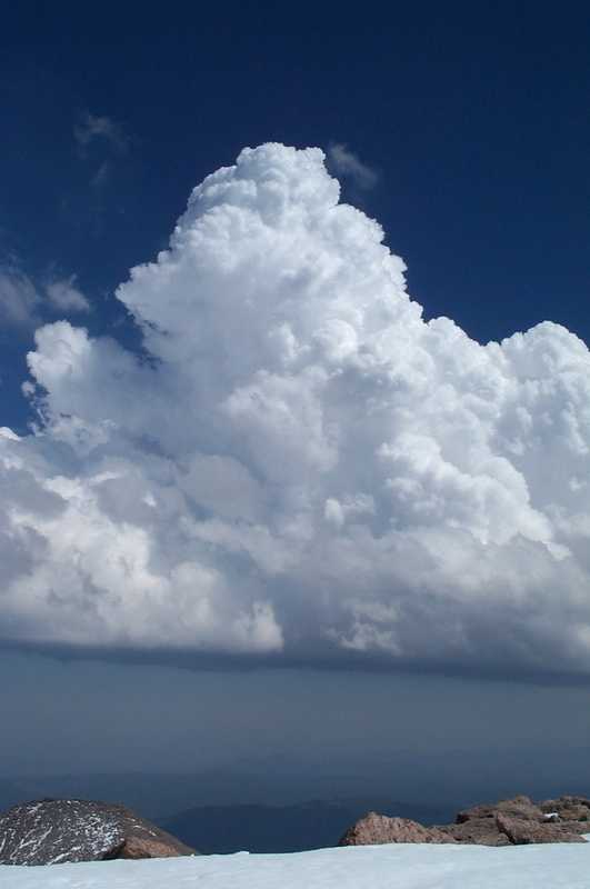
I then took time out to sign the summit register and have my customary peanut-butter and jelly sandwich. It felt great to be alone on top of such a great mountain. The last person to sign the register was Jim Detterline (the ranger), three days prior. Before him, it had been 9 days since anyone had signed. Unfortunately, it was late in the day (4 pm), and a nasty looking cloud was forming just to the east of me:

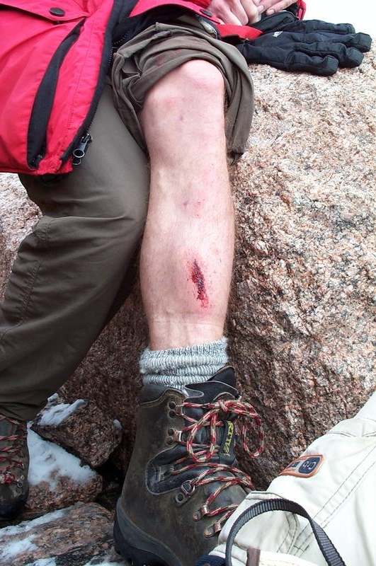
Seeing that cloud got me motivated, and I boogied down off the summit and started the long slog back to the trailhead. I alternately glissaded and plunge-stepped down the Trough, and was utterly soaked by the time I got to the bottom around 6 pm. The rest of the trip out felt like a death march, but I finally arrived back at the truck at 8:45, just before dark. When I got back to the hotel, I discovered that I had made a serious error in my trip planning: No Suncreen! Here’s the damage 4 days later:

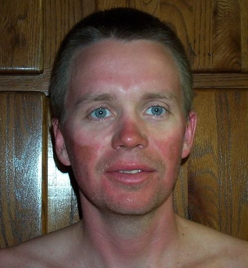
Ouch! You can bet I won’t make that mistake again.

Saturday was rest day. We visited Ken and Carolyn Wills at their cabin, and were able to meet up with Michael Hodges at McGregor Mountain Lodge, and had a great visit with him as well.

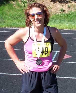
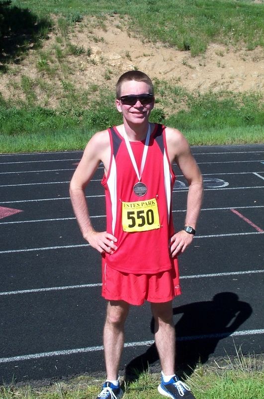
Sunday morning was race day! Lori and I were signed up for the half marathon at the second annual Estes Park Marathon. Lori was still not feeling well, but she decided to try it anyway. The race started a little late (around 7:10 am), but finally we were off running! The weather was perfect for running, just a little breeze and temps in the upper 60’s. Two hours, nine minutes, and 10 seconds later I was across the finish line, have just made my goal of a 10 minute mile (9:52 minute/mile pace). I ran back to the truck and drove down to the lake where I saw Lori coming up the path, so I hopped out of the truck with the camera and ran the last mile with her. She crossed the finish line at 2:42:19, a very respectable time considering that her knee was killing her most of the way. You can see the results of the races here. If you look in the 10K results, you’ll find Michael Hodges in 24th place with a time of 52:18, pretty good for someone who just recently started running (way to go!)

Here is Lori and I at the finish line:

After the race, it was time to pack it all up and head back to Kansas and our real lives, and to start looking forward to the next time we get to travel back to our favorite place in the world.

Tags: , , , ,

Alan’s First Ascent of Long’s

Here is the story of my ascent of Long’s Peak on Friday Sept. 10th, 2004.  The forecast was calling for sunny and warm all day (like it had been all week long), so I didn’t get up until 4am.  Lori drove me to the trailhead, I signed in the register, and was on the trail at 4:45. It looked like there were a few clouds in the sky, but it was a very nice morning, not much wind and around 55 deg.

I made good time, a little over 2 mph, so I was at Chasm Junction (3.5 miles) around 6:15.  I stopped for about 10 minutes and visited with the 6 or 8 people who had stopped there, and then I was off again.  At 6:30, the sun came up and bathed everything in a beautiful alpenglow.  Unfortunately, the clouds swallowed up the sun in about 5 minutes so I didn’t get any cool pictures.

Around 7:45 I made it to the end of the trail where the campsites are, at the start of the Boulderfield (5.9 miles from the TH).  There was only one tent there, and the occupants were moving around getting ready for their day.  At this point, the wind was picking up and the temperature had fallen to around 40 deg, and the sky was completely overcast.  I made a quick stop at the privy and set off across the Boulderfield.

At 8:30 I arrived at the shelter at the Keyhole (6.5 miles from the trailhead, 13,100 ft), and it was snowing like crazy.  The rocks were wet and slick, so I stopped at the shelter to see what the weather would do.  After a while, I met a guy name Bryan who was there with a friend.  After an hour and a half, it was still overcast and wet, and lots of people were turning back down the trail.  Several people had come back from the Ledges saying it was too slick for them.  Bryan and I had just decided to go see for ourselves when a young couple from Boulder showed up and started putting on their climbing harnesses.  Bryan and I looked at each other and said “Hey – they have a rope and know what they’re doing.  Let’s follow them.”  So after they got all of their equipment on and organized, all five of us took off through the Keyhole and across the Ledges.  One other guy started out following us, but everytime I looked back to check on him he was further and further behind, with a seriously pained expression on his face.  After a few hundred yards, he turned around and we never saw him after that.

The Ledges were completely wet, with a couple of small patches of ice, but were easily navigable.  We just had to carefully place our steps and take our time.  Fortunately, we didn’t get any more snow after we left the Keyhole.  It took us about 45 minutes to negotiate the Ledges, and then we entered to Trough.  The right side of the Trough was covered with a couple of inches of snow with ice underneath (very dangerous), and there was a fair amount of lighter snow-covered ice in the middle and left side, but again we just took our time and chose our steps (and handholds) carefully.  In 2 loooong, steep hours, we had climbed the Trough and negotiated around the chockstone at the top and were ready for the Narrows.

We decided to ditch our packs and make a quick dash to the summit (except for Bryan and his friend, who kept their’s on).  This did make negotiating the couple of tight spots on the Narrows a little more comfortable, but it would have been easy enough with the pack on.  I was really surprised – much of what I read about the Narrows is completely misguided.  It is actually quite easy to cross (even if it was slick I don’t think it would have been too difficult).  The view is certainly breathtaking, but the path is wide and there are plenty of handholds and footholds to keep you on the mountain with relative ease, though if you have a problem with heights this is not the place for you.  After about 15 minutes we were across the Narrows and headed to the HomeStretch.

The HomeStretch had some very thin ice on it in spots, but the rock was rough enough that we were able to ascend without too much difficulty in around 20 minutes or so.  At 1 pm, we were all on the summit!  Unfortunately, we were almost completely in the clouds, so we couldn’t see too much.  We signed the register and rested for 20 minutes or so and headed back down after I called Lori on the cell and let here know I made it.

Whoa!  Going down the HomeStretch is harder than going up, at least when it is slick.  I ended up kind of slowly skiing down the difficult sections on my feet while in a crouching position (so I didn’t have far to fall onto my behind ).  A little more than half an hour and we were back at the top of the Trough with our packs, eating lunch.  By this time, the clouds were completely gone and we were privileged to enjoy some incredible views.

The trip back down the Trough and across the Ledges was uneventful, and easier than going up since the rocks were dry and most of the ice had melted in the middle and left side of the Trough.  We were back at the shelter at the Keyhole at 4.  After 10 or 15 minutes of visiting, I said goodbye to my new friends and headed down the trail.  Fortunately, for me at least, I left just in time.  A T-storm started brewing in the North and I ended up almost jogging down the trail to get to treeline before it got to me.  I was just past the Alpine Brook bridge when the first thunderclap came from directly above me.  I was a little concerned, knowing the my new friends were way behind me on the trail and above Timberline during the storm.  Fortunately, the lightning seemed to be confined to the clouds so I figured they were OK.

A quick 40 minutes took me the last two miles in the hail and rain to the TH, where I signed out (at 6:58 pm) and jumped into the truck where Lori and the kids were waiting to take me back to the camper.  I made it! – car to car in 14 hours and 13 minutes, 15 miles with 1 mile of elevation gain.  Here are the pictures:


The Trailhead sign (during the daytime)


Rebecca at Chasm Junction on the Tuesday before my ascent


Me trying to get the latch to work on the ‘Sky Potty’ at Chasm Junction


Here’s a great shot of Peacock Pool, Ship’s Prow, Mount Meeker, and the couloir leading to the Loft,
taken from Chasm Junction


A closeup of Peacock pool from Chasm Junction


A shot of the Diamond and North Face from the trail before the BoulderField


The Keyhole from close to the end of the trail.  If you look close you can see the Privy in the lower center.


One of the tent sites at the start of the Boulderfield.  The rocks are stacked up to help block the fierce winds
that often blow up here.


Bryan (red pack) and the climber from Boulder


Awesome view of Glacier Gorge from the bottom of the Trough


View of snow/ice on the right side of the Trough


Here’s me at shortly after we entered the Trough – just follow the Bullseyes and you’ll eventually get there 😉

This is the start of the Narrows, the narrowest part.  The fog at this point was
good, since it blocked the view of the 2000 foot dropoff on the right.


Here’s the proof – the obligatory Summit photo


Bryan’s friend had a nasty fall trying to get over the chockstone at the top of
the Trough.  Ow – that lump stuck out almost an inch from his shin.


Preparing to leave the Summit in the fog


Going down the HomeStretch in the fog


A quick look at a small, unnamed lake close to Keplinger’s lake, seen from the bottom
of the HomeStretch.


An awesome rock formation called the Pallisades that blocks the view of the South side routes
up Longs.  That’s Mt. Meeker and part of the Loft in the background.


A great shot of the HomeStretch from the bottom.


Here is Pagoda Mt. and the saddle called the “Keyboard of the Winds”


Another shot of the Keyboard of the Winds


Back across the Narrows


Just follow the crack and you won’t fall off 😉


An awesome frozen waterfall about halfway down the Trough


Here’s a good clear view down the Trough into Glacier Gorge


Here’s the hardest spot on the Ledges.  There is about 10-15 ft of smooth
rock to the right of the bottom bar and then a serious dropoff.


As near as we can tell, the bottom bar is a foothold, and the top one is
a handhold.  We could have negotiated this without the bars, but were
certainly more comfortable having them there.


Chasm view and the North Face and upper part of the Diamond, taken from the BoulderField on the way back down.


I couldn’t resist this shot of Mt. Ypsilon from the Boulderfield, with the storms starting to brew.

Tags: , ,